New Copernicus Near Real-Time products for snow and ice monitoring
Magellium implemented and is operating the High-Resolution Snow and Ice monitoring (HR-S&I) products of Copernicus Land, providing Near Real-Time information and records since September 2016 on snow and ice coverage in Europe.
Relevance
Snow cover and lake ice cover have been identified as 2 of the 50 essential climate variables (ECVs), by the Global Climate Observing System (GCOS), for the strong impact they exert on Earth’s climate. They influence water cycle and surface energy fluxes, representing key parameters in weather and hydrology.
New high-resolutions products
The new products use Sentinel-2 optical data and Sentinel-1 radar data to offer high-resolution information on snow cover and river and lake ice extent for 32 EEA member countries, the United Kingdom, and 6 cooperating countries in the Western Balkans.
The HR-S&I products developed, currently available on WEkEO from Copernicus Land Monitoring service, are:
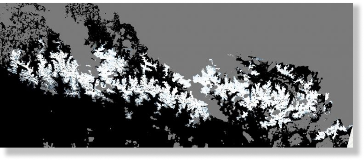
- The snow cover extent with the snow cover fraction and its daily cumulative gap-filled version
- The snow state conditions of this snow cover (wet/dry snow) and the wet snow extent in mountain areas
- The persistent snow area over the hydrological year
- The ice cover extent on rivers and lakes (snow-covered or snow-free ice)
- The percent coverage of ice on lakes and on 10 km river sections.
Snow and Ice applications are time-critical. With the continuous improvement of ESA in Sentinel-2 L1C and Sentinel-1 GRD data release and the direct access of WEkEO to the source of the data, most of the operational HR-S&I products are available between 6 and 12 hours after the observation.
Key features
Near Real-Time data
Most of the new products are available between 6 and 12 hours after the data sensing enabling improved estimations, analysis and modelling.
High resolution products
The new product offers very high spatial resolution from 60x60m and up to 20x20m.
Historical data
Satellite data offer access to long track records, available for analysis since 2016.
Benefits of WEkEO for HR S&I Products
The service was developed and it is operated entirely on WEkEO. WEkEO’s efficient computation and automatic input provision enable near-real-time availability of Sentinel data, crucial for all time-critical downstream applications.
WEkEO benefits also include:
- Direct link to data providers
- Avoidance of resources duplication
- Immediate availability of HR-S&I products for visualization and download
- Performant cloud capabilities and infrastructure
- Consistency and sustainability of the platform in the time
Contact us to know more about HR S&I Products.