Champion User Advisory Group
The Champion User Advisory Group (CUAG) is an initiative led by the entrusted entities of WEkEO. Its main goal is to facilitate exchanges between WEkEO partners and expert users to better align WEkEO offer with user needs. Comprising independent experts from both the public and private sectors, along with advisory members, CUAG plays a crucial role in advising WEkEO partners on refining current products and services. Additionally, its members assess the suitability and relevance of the current WEkEO portfolio for environmental policies, markets, and applications.
Aditi Goswami

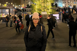
Aditi Goswami is a professional Artificial Intelligence Engineer working in the Earth Observation domain. She firmly believes in the urgency of addressing Climate Change and advocates for immediate action. Thrilled to be a part of the Champion User Advisory Group, Aditi looks forward to contributing to the development of the best possible version of WEkEO.
Dominique Weber
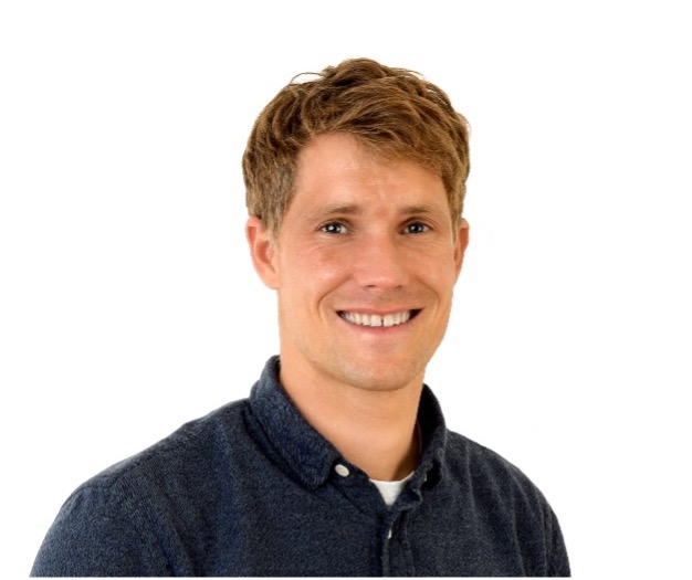
Dominique Weber is an environmental scientist with a special interest in remote sensing and spatial data analysis for ecology, conservation, and forest management. He studies the assessment and monitoring of natural ecosystems, the development, verification and use of large-scale land cover and land use datasets. Since 2020, he has been responsible for the scientific support of the FOEN in the field of land cover and land use at national and European level. For his work, he uses diverse remote sensing data like Sentinel-2, aerial imagery and LiDAR data and process/analyse them in combination with other spatial and in situ data in R/Python or GIS.
Gabriele Schwaizer

Dr. Gabriele Schwaizer is a Senior Research Scientist at ENVEO IT GmbH in Austria. She has been working for more than 15 years on the monitoring of seasonal snow and land ice using satellite data and is leading the operation of satellite-based snow services at ENVEO.
Giovanni Paolini
Giovanni Paolini holds an MSc in Space Engineering and is currently a PhD candidate at isardSAT, in collaboration with the University of Lleida. His field of investigation is primarily focused on hydrology, specifically the use of soil moisture and evapotranspiration to retrieve information on irrigation practices. His interests also include the development of machine learning algorithms and downscaling techniques applied to land product data.
Gorica Bratic

Eng. Gorica Bratic obtained her BSc degree in Environmental Engineering at the University of Novi Sad, Faculty of Technical Sciences in 2015 and her M.Sc. degree in Environmental and Geomatics Engineering at Politecnico di Milano in 2018. From June 2018 until December 2022, she was a part of the GEOlab team of Politecnico di Milano as a research fellow. Starting from November 2018, she has been pursuing a Ph.D. in the Department of Civil and Environmental Engineering with research focused on reusing existing land cover maps to reinforce reference data for future land cover map production. She is engaged in promoting open data, knowledge, and software.
Lourdes Albizua Huarte

Lourdes Albizua Huarte holds a degree in Physics of the Earth and Atmosphere as well as a post-graduate degree in Physics, both earned at the Complutense University of Madrid. Additionally, she has pursued Advanced Studies in Radar Polarimetry at the Online University of New Brunswick. Possessing an extensive knowledge of Earth Observation (EO) techniques and data, including principles of Remote Sensing (RS), characteristics of satellite images, and their applications, Lourdes Albizua Huarte boasts considerable experience in projects related to EO and Geographic Information System (GIS) techniques across diverse sectors. Her expertise encompasses urban applications, land use and land cover (LU/LC) mapping, change detection, agriculture, and validation, particularly within the context of CEMS Mapping Validation.
Mohammad Hatamjafari

Mohammad Hatamjafari is an environmental scientist with a strong focus on water resources management and environmental fate. He is currently part of the Global Exposure Modelling team at BASF Agricultural Solutions. He has been involved in various interdisciplinary projects, such as flash flood forecasting, predictive habitat distribution modelling, catchment-scale sediment transport modelling, and green infrastructure studies. He leverages spatiotemporal data in his research projects and hopes that with the help of high-quality, reliable resources, he can better comprehend environmental processes.
Philipp Adis
Philipp Adis is a Software Engineer at Bareways GmbH in Lübeck, Germany, where he works on navigation in rural areas. He has a strong interest in the analysis of satellite imagery to retrieve insightful information to optimize his routing results.
Raynier van Egmond
Raynier (René) A. van Egmond holds an MS.Sc. in Ecology and Applied Physics from the University of Leiden, Netherlands. Currently residing in the Seattle area, USA, he is the co-inventor of the XBRL standard for Digital Financial and ESG reporting. With a background in the ICT industry, he now leads the Pacific Northwest Earth Observation and Monitoring (PNEOM) program. This non-profit initiative offers a free, online curriculum focused on holistic ecosystem and climate data analysis using Open Source materials, satellite remote sensing data, climate information, and Python-based software. The program aims to empower citizen scientists to contribute to environmental research, ecosystem conservation, and restoration projects, fostering advocacy for positive change through citizen environmental journalism and collaborations for a sustainable future.
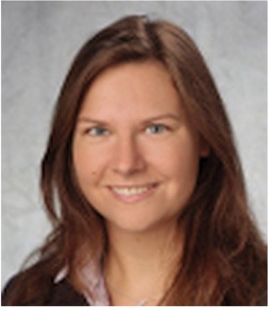
Valérie Garnier
Valérie Garnier is an oceanographer at LOPS, Ifremer (France). She was responsible for the development and dissemination of the Ifremer coastal numerical model (MARS) for 10 years. More recently, she has been involved in the development of the coupling of ocean, atmosphere, and wave models (Voldoire et al., 2017) and has been exploring air-sea interactions in frontal coastal areas such as the Ushant front (Brumer et al., 2020) and the Toulon upwelling. Also interested in coastal mesoscale and sub-mesoscale processes, she has participated in several experiments at sea (Dumas et al., 2018) and explores both modeling results and in-situ or satellite observations. In parallel, she is currently developing a Python toolbox, based on the Pangeo stack, to facilitate data comparison and analysis.
Zhanzhang Cai
Zhanzhang Cai received the Ph.D. degree in geobiosphere science with a specialization in physical geography and ecosystem science from Lund University, Lund, Sweden, in 2019. From 2020 to 2021, he was a Postdoctoral researcher at Lund University, funded by the European Environment Agency (EEA) High Resolution Vegetation Phenology and Productivity (HR-VPP) project. He is currently a researcher at Lund University, funded by projects of EEA, ESA, and the Swedish National Space Board. His primary research interest is remote sensing for vegetation phenology, carbon cycle, agriculture, and water quality.