Lobelia Air: Earth Observation Data for Your Health
The WEkEO platform is used by a variety of organisations for different purposes from scientific research, to supporting the development of fact-based policy making and commercial applications of Earth Observation data. The WEkEO team spoke to Aytor Naranjo from Lobelia Earth and Bas Mijling from the Royal Netherlands Meteorological Institute (KNMI) to discuss how they have used the WEkEO platform over the past 18 months in their innovative air quality monitoring and forecasting application, Lobelia Air.
What is Lobelia Air?
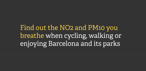
Lobelia Air is a digital application providing 24/7 near-real-time street-level monitoring of NO2 (nitrogen dioxide) and PM10 (particulate matter) concentrations, with hourly data ingestion and model calibration, as well as 72-hour forecasts. We use Earth Observation data to provide high resolution monitoring for air quality at street level. Operating in Amsterdam, Barcelona, and Madrid, the forecasts provided via our cloud-based algorithm are used to generate maps which are freely available and accessible to citizens. Lobelia Air is the marketable solution arising from the Airqast Horizon 2020 project.
What are the benefits of WEkEO for your project?
The WEkEO virtual machines host the Lobelia Air algorithm for Madrid and Amsterdam. The consistency of the WEkEO infrastructure and its optimal operational time has meant that, despite the large volumes of data we process on an hourly basis, there has not been a single crash in the last 18 months. We have been impressed with the platform and satisfied with how it has enabled us to bring the Lobelia Air project to the market.
What WEkEO plan and processing environments do you use?
Lobelia Air has a small tenant in WEkEO (size S), with 8 CPUs and 64 GB of RAM memory. We use only the 2-Terabyte block storage and Ubuntu as the operating system.
What data does the algorithm use?
The algorithm is based on an open-source, scientifically validated dispersion model. It processes meteorological data along with local information (e.g., traffic, air quality) from an official network of existing in-situ sensors or calculated using machine-learning algorithms. Lobelia Air also uses data from the Copernicus Atmosphere Monitoring Service which is implemented by ECMWF (the European Centre for Medium-Range Weather Forecasts (ECMWF). These data are directly available through the WEkEO platform.
How has Lobelia Air been used?
Our forecasts provide air quality maps of specific European cities, allowing citizens to better understand air quality in their local area. For example, our platform helps users plan their route to avoid pollution: if you walk or cycle to work in Amsterdam, Barcelona or Madrid, our platform can help guide you towards the least polluted route. The application also promotes awareness of air quality issues, fosters sustainable mobility and green energy, and contributes to the EU’s carbon neutrality ambition. For example, a local organisation advocating for clean air in Barcelona (Example Respira) used Lobelia Air data to raise awareness of the impact of air quality on citizens’ health, notably around schools. Starting in Barcelona, the campaign has spread to 7 cities around Spain and is making a considerable impact.
More information
The Royal Netherlands Meteorological Institute (KNMI)
What are the WEkEO Virtual Machines?
The Lobelia Air project highlights the strengths of the WEkEO virtual machines. Virtual Machines are the ready to use applications that are available to users, customisable depending on the needs and plan of the user: users on the advanced plan will be able to access cloud processing resources through the dashboard or by using SSH (Secure Shell Protocol) access. For more information, click here.